

Construction Progress Photography in Cornwall: What Should You Capture and How Often?
Construction projects can change significantly in a matter of weeks. Having a consistent photographic record throughout the programme can provide project teams, developers and other stakeholders with a clear visual overview of how work is progressing.
Professional construction progress photography can combine ground-based photography with aerial drone imagery to document a site from different perspectives and at agreed stages throughout a project.
But what should actually be photographed, and how often should progress photography take place?
What is construction progress photography?
Construction progress photography creates a structured visual record of a project as it develops.
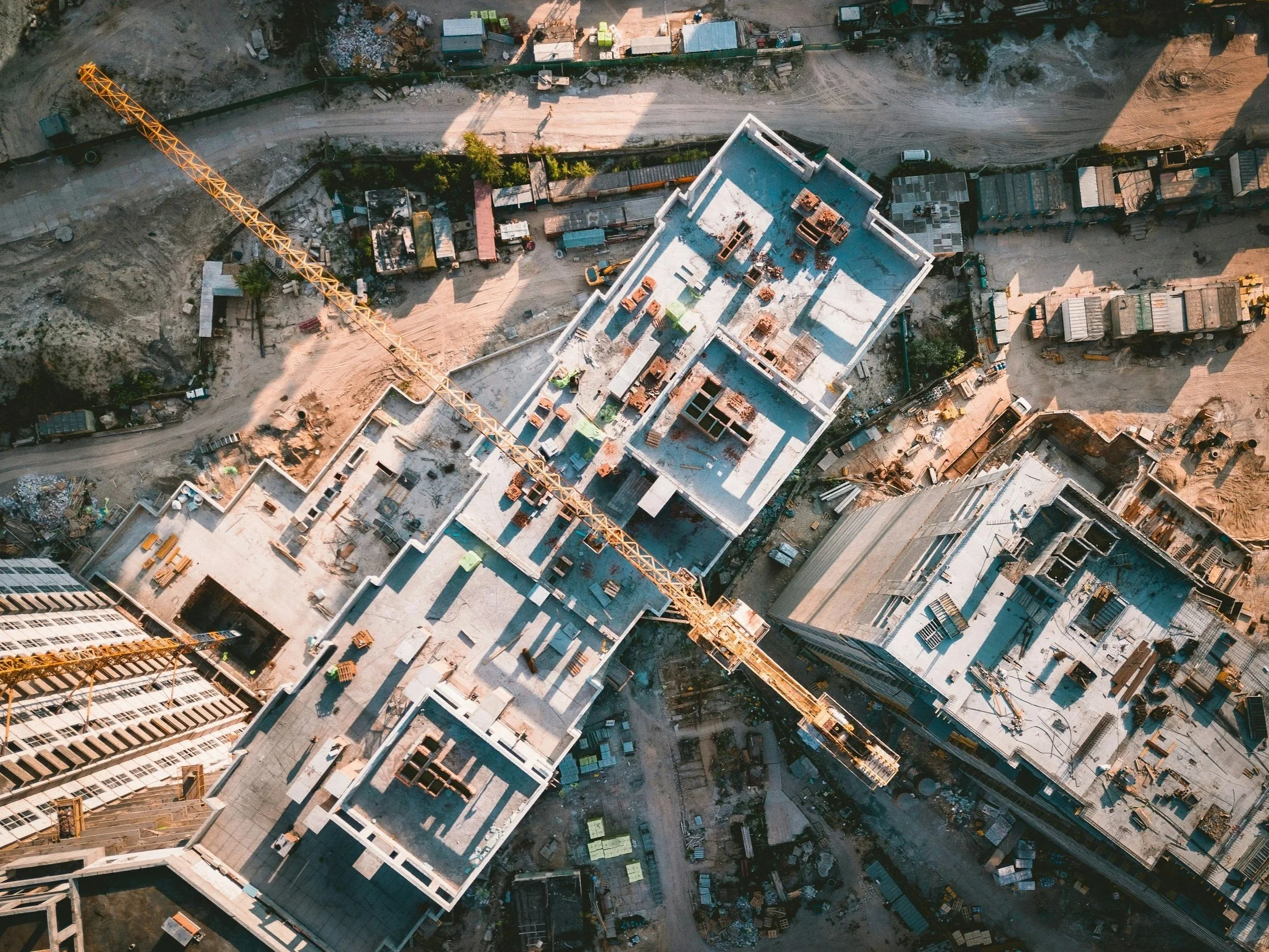
Rather than simply taking occasional photographs when somebody remembers, planned photography can document a site from consistent locations and viewpoints at agreed intervals.
Depending on the project, this might include both ground-level photography and aerial drone imagery, allowing everything from individual areas of work to the development of the wider site to be recorded.
The resulting images can provide a useful visual reference for project teams while also creating professional content that may have value for reporting, stakeholder updates and future marketing.
What should be photographed?
The answer will depend on the project, but consistency is particularly important.
A useful construction photography programme could include:
Overall views of the development
Consistent aerial views of the site
Key elevations and structures
Specific areas of ongoing work
Access roads and site infrastructure
Changes to external works and landscaping
Significant stages or milestones
Completed areas of the development
Where possible, returning to similar positions and camera angles during each visit makes it much easier to compare how the project has changed over time.
This is particularly effective with aerial photography, where repeatable viewpoints can provide a clear overview of progress across the entire site.
How often should a construction site be photographed?
There isn't one schedule that suits every project.
For a longer development, monthly photography may provide a useful record without creating unnecessary duplication between visits.
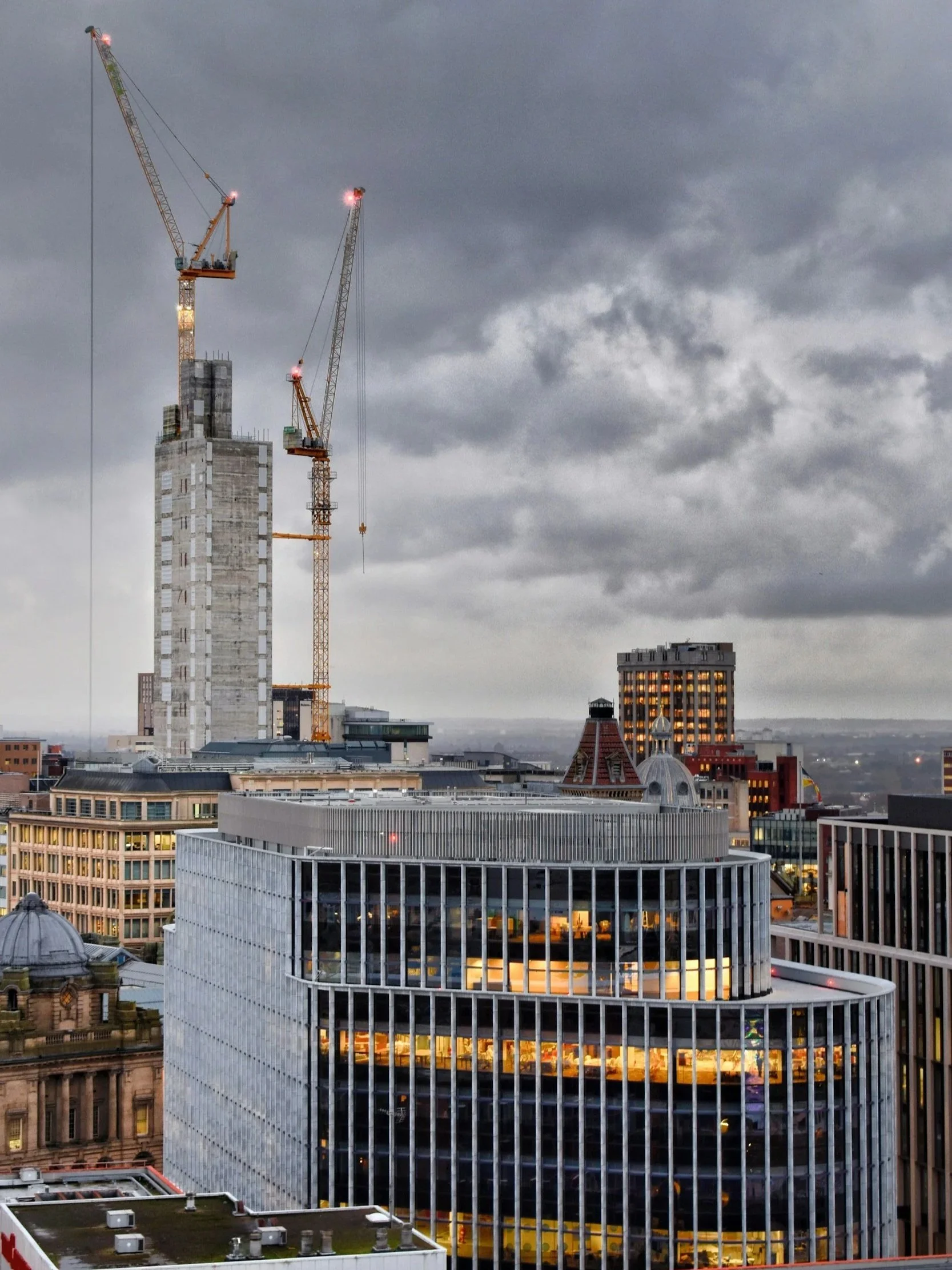
Projects moving more quickly may benefit from fortnightly visits, while other sites may only require photography at specific milestones.
For example:
Before work begins → groundworks → structural progress → external envelope → external works → completion
The important part is agreeing the purpose of the photography first.
If the objective is simply to create a record of major stages, milestone visits may be sufficient. If imagery is required for regular reporting or stakeholder communication, a more frequent schedule may be appropriate.
Why combine aerial and ground photography?
Drone photography is particularly effective at showing the scale and overall development of a construction site.
From above, it can be much easier to see changes to the site layout, structures, access routes and surrounding areas.
Ground photography provides something different.
It can document elevations, individual areas of work and details that wouldn't necessarily be useful when photographed from the air.
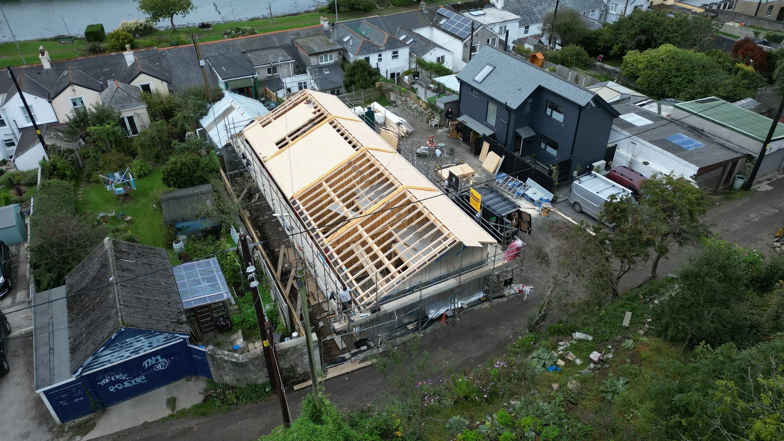
Combining the two therefore creates a more complete visual record:
Aerial photography provides context.
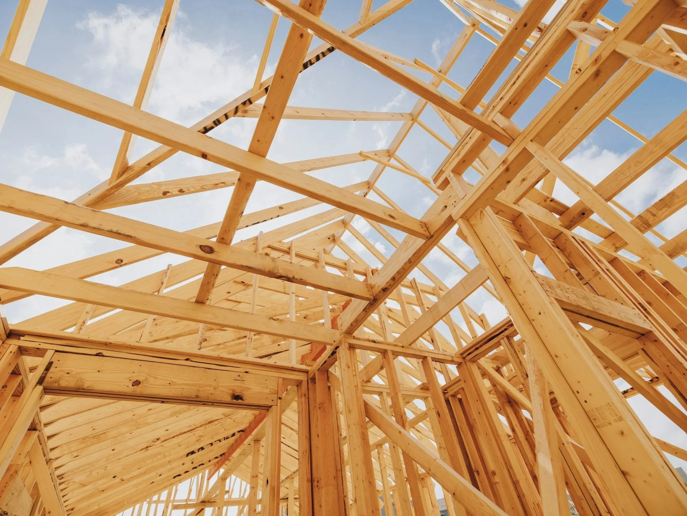
Ground photography provides detail.
For some projects, one may be sufficient. For others, using both can provide significantly more useful coverage.
Consistency matters more than simply taking lots of photographs
One of the most valuable aspects of progress photography is being able to compare one stage with another.
Taking 200 photographs from completely different positions every month may actually be less useful than having a smaller, carefully planned set of images captured consistently.
Where practical, agreed viewpoints can be established at the beginning of the programme and repeated during subsequent visits.
Over time, this creates a much clearer visual timeline of the development.
It can also make the imagery particularly effective for before-and-after comparisons and construction timelapses.
What can construction progress imagery be used for?
A well-organised collection of photographs and aerial imagery can have several uses throughout and after a project.
Images may be useful for:
Project progress records
Client and stakeholder updates
Internal presentations
Remote project reviews
Investor or funding updates
Website and social-media content
Before-and-after comparisons
Completed project portfolios
Marketing future developments
The same photography commissioned primarily to document construction progress can therefore continue providing value after the project has been completed.
Planning drone photography on a construction site
Construction sites can present more complex operating environments than conventional property photography.
Before aerial photography takes place, factors such as the location of the site, surrounding airspace, nearby buildings, people, cranes and other site activities need to be considered.
The required imagery should also be agreed beforehand so that the flight is planned around the information the client actually needs rather than simply capturing general aerial photographs.
At Aerisurv, each proposed drone operation is considered individually before the photography takes place.
Construction progress photography across Cornwall
Aerisurv Ltd provides professional ground and aerial photography for construction projects across Cornwall and the wider South West.
Photography can be arranged as a standalone visit or as part of a planned programme of repeat visits throughout the development.
By combining professional ground photography with aerial drone imagery, we can create a consistent visual record showing how a project develops from one stage to the next.
Planning a construction project in Cornwall?
If you would like to discuss construction progress photography for an upcoming development, contact Aerisurv with the site location, anticipated programme and the type of imagery you require.
We can then discuss an appropriate photography schedule and the most useful combination of aerial and ground-based coverage for the project.